How is China helping Iran against US-Israel combine? Chinese AI satellite firm exposed for mapping American bases, reports claim
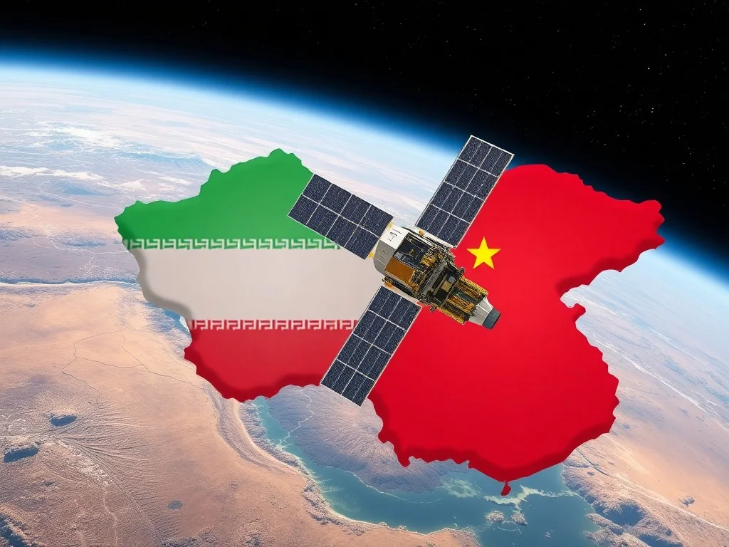
A Chinese geospatial AI firm, MizarVision, has been publishing AI-enhanced satellite imagery of US military bases in the Middle East, potentially aiding Iranian forces in targeting US and allied forces. The imagery, which identifies and tags military assets with high precision, has been circulating on public platforms and is believed to be putting lives at risk by speeding up Iran's ability to plan and execute missile and drone strikes.
A Chinese AI firm has been using commercial satellite data to generate intelligence products that may be helping Iran target US and allied forces. The firm, MizarVision, has been publishing AI-enhanced satellite imagery of US military bases in the Middle East. This imagery identifies and tags military assets with high precision, potentially down to less than a square meter. The images have been circulating on public platforms, including Chinese and Western social media. US analysts say this is putting lives at risk by speeding up Iran's ability to plan and execute missile and drone strikes. The US has pressured commercial satellite providers to restrict imagery over the Middle East conflict zone to prevent adversaries from exploiting up-to-date visuals of US assets.
This content was automatically generated and/or translated by AI. It may contain inaccuracies. Please refer to the original sources for verification.