Tsunami risk zones shift inland as maps updated
Tsunami evacuation zone maps in New Zealand's Bay of Plenty region have been updated, with some areas expanding inland and others reducing in size. The changes reflect improved tsunami modelling and a better understanding of the region's complex coastal and river environments.
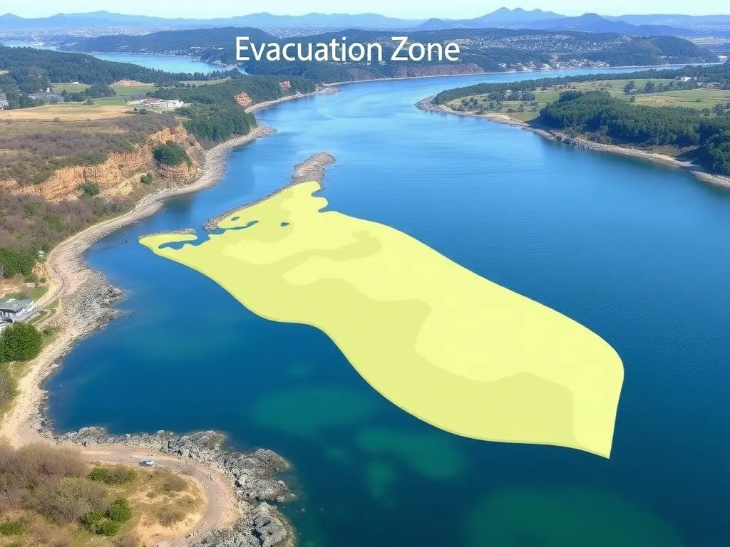
Tsunami evacuation zone maps in the Bay of Plenty region have been updated. The revised maps, released on Monday, are based on updated tsunami modelling from Earth Sciences New Zealand. Some zones have been expanded inland, while others have been reduced. At Waihī Beach, the evacuation zone has expanded further inland, while parts of Katikati and Ōmokoroa have reduced. The changes reflect improved science and understanding of the region's complex coastal and river environments. More than 150 tsunami evacuation signboards are being updated to match the new maps, which are available on the Bay of Plenty Civil Defence website and local council sites.
This content was automatically generated and/or translated by AI. It may contain inaccuracies. Please refer to the original sources for verification.