Wildfires are making the US smoggy again, reversing progress on cleaner air, study finds
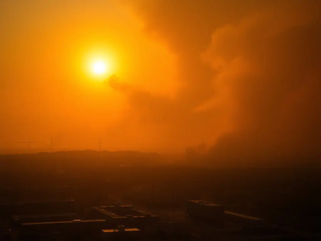
A new study in *Science* found that wildfire smoke since 2015 has reversed U.S. progress on reducing smog, increasing ground-level ozone by 4% and causing an estimated 318 additional deaths annually since 2013. Researchers used AI-driven models to analyze nationwide ozone levels, revealing that stricter regulations on industrial emissions had previously cut smog by 11% from 2003 to 2015, but wildfires now counteract these gains.
A study published in *Science* reveals that wildfire smoke has reversed decades of progress in reducing U.S. smog levels. From 2003 to 2015, ground-level ozone—commonly known as smog—dropped by 11% due to stricter federal regulations on power plants, cars, and diesel engines. However, since 2015, wildfires have increased ozone levels by 4%, with projections showing smog could return to 2003 levels within 20 years if current trends continue. The research, led by atmospheric scientist Weizhi Deng at the University of Iowa, estimates that ozone-related deaths have risen by 318 annually since 2013. Wildfires themselves do not produce ozone but release precursor chemicals that react with sunlight to form smog. The study also highlights limitations in the U.S. Environmental Protection Agency’s smog monitoring network, which covers only 2% of the country, primarily in urban areas. To address this, the researchers used satellite data, pollution models, and artificial intelligence to create a high-resolution nationwide ozone dataset. The findings align with a 2023 study by the same team, which found that wildfire smoke had also reversed declines in particle pollution, increasing annual deaths by about 670. Researchers emphasize that while climate change exacerbates wildfires, natural hazards are now undermining efforts to reduce human-caused air pollution. Experts, including Teresa Feo from Megafire Action, have called for expanding air pollution monitoring to better track wildfire smoke exposure and protect public health. The study’s methodology, which combines ground observations with AI-driven modeling, was praised for its ability to fill data gaps and provide a more accurate national picture of ozone levels. University of Delaware professor Cristina Archer noted that the approach leverages reliable datasets to create an 'exceptional' high-resolution map of pollution across the U.S.
This content was automatically generated and/or translated by AI. It may contain inaccuracies. Please refer to the original sources for verification.